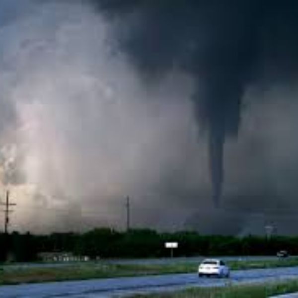
NASHVILLE, Tenn. — Millions of residents from Texas to Pennsylvania are under threat from severe storms Friday, as a powerful cold front pushes through the eastern half of the U.S., bringing damaging winds, hail, and potential tornadoes.
Knoxville Airport Damaged Thursday
This Article Includes
On Thursday afternoon, severe storms damaged multiple hangars at Skyranch Airport, a small facility in Knoxville, Tennessee.
The National Weather Service (NWS) in Morristown confirmed the damage was caused by straight-line wind gusts, not a tornado.


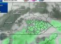
Friday’s Severe Weather Threat
The highest risk zone stretches from northern Mississippi to Ohio, including:
-
Nashville, Tennessee
-
Bowling Green, Kentucky
-
Charleston, West Virginia
Severe Thunderstorm Watches were issued across parts of the Tennessee and Ohio Valleys Friday evening, with Tornado Watches in select areas.
Primary Threats
-
Damaging wind gusts
-
Large hail
-
Isolated tornadoes possible
-
Flash flooding in some locations
Two Straight Days of Severe Weather in Tennessee
For Tennessee, Friday’s storms come just a day after intense weather battered the state on Thursday. In Knoxville, storms brought damaging winds and hail, tearing across the area and causing significant damage at Skyranch Airport.
According to video shared by the SKY Program, several airport hangars were destroyed.
“The Sky Program hangar was the only one in our row without damage after a tornado hit Skyranch Airport,” the group stated on Facebook.
However, the NWS clarified that the destruction was caused by powerful straight-line winds, not an actual tornado.
Residents in Nashville and surrounding areas are urged to stay weather-aware and monitor updates from the National Weather Service and local authorities as conditions evolve.
This article has been carefully fact-checked by our editorial team to ensure accuracy and eliminate any misleading information. We are committed to maintaining the highest standards of integrity in our content.


